
San Felipe Area Weather
Sunrise: 6:23am Sunset: 8:25pm
Updated:06/11/26 at 9:51pm
Moon Phase: Waning Crescent
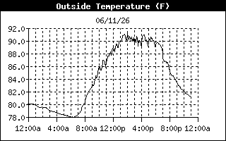
High Temperature
Low Temperature
91.4°F at 2:04p
78.0°F at 5:58a
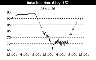
High Humidity
Low Humidity
94% at 5:17a
65% at 1:29p
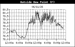
High Dewpoint
Low Dewpoint
81.0°F at 11:10a
76.0°F at 4:13a
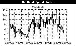
High Wind Speed
14.0 mph at 7:40p
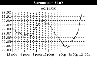
High Barometer
Low Barometer
29.901 in at 9:55a
29.834 in at 6:08p
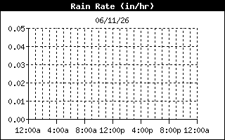
High Rain Rate
0.00 in/hr at ----
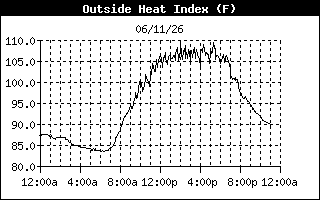
High Heat Index
111.0°F at 2:02p
Current Regional Conditions |
Daily Climate Information |
Local/Regional/National Forecast Information |
Severe Weather
» SPC Outlook |

Storm Chasing Information |
Tropical Weather |
Station Archives |
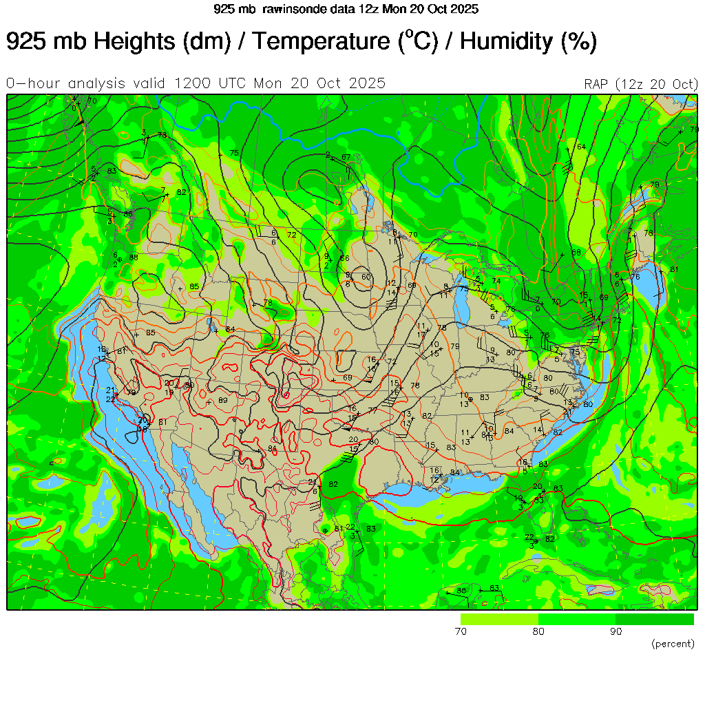
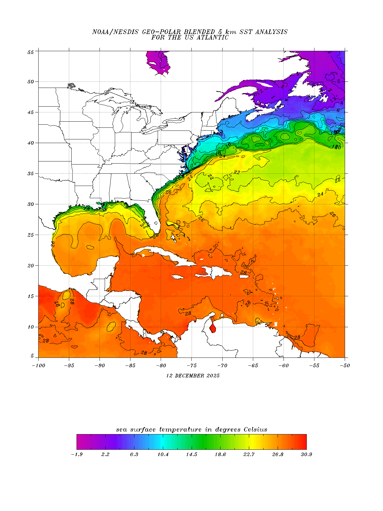
| MAPS & SATELLITE IMAGES |
|
|||


